
Drone & Aerial
Project Context
Site, surroundings and development scaleCASA-Licensed Operators
RePL/ReOC-compliant commercial drone operationsRegular Updates
Repeatable aerial progress coveragePlanned Operations
Access, site and airspace considered
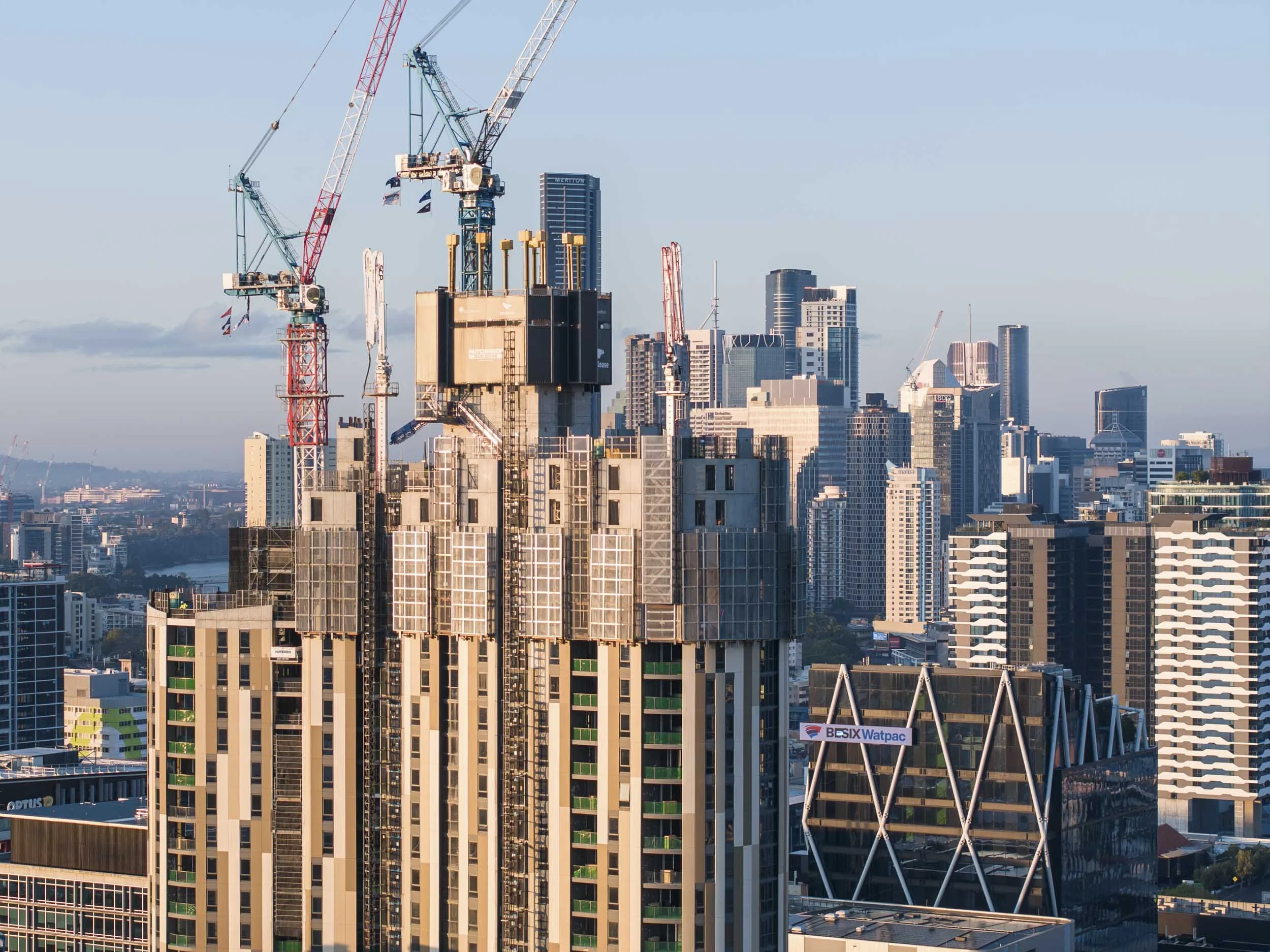
WHAT WE CAPTUREShow the scale and context of your project
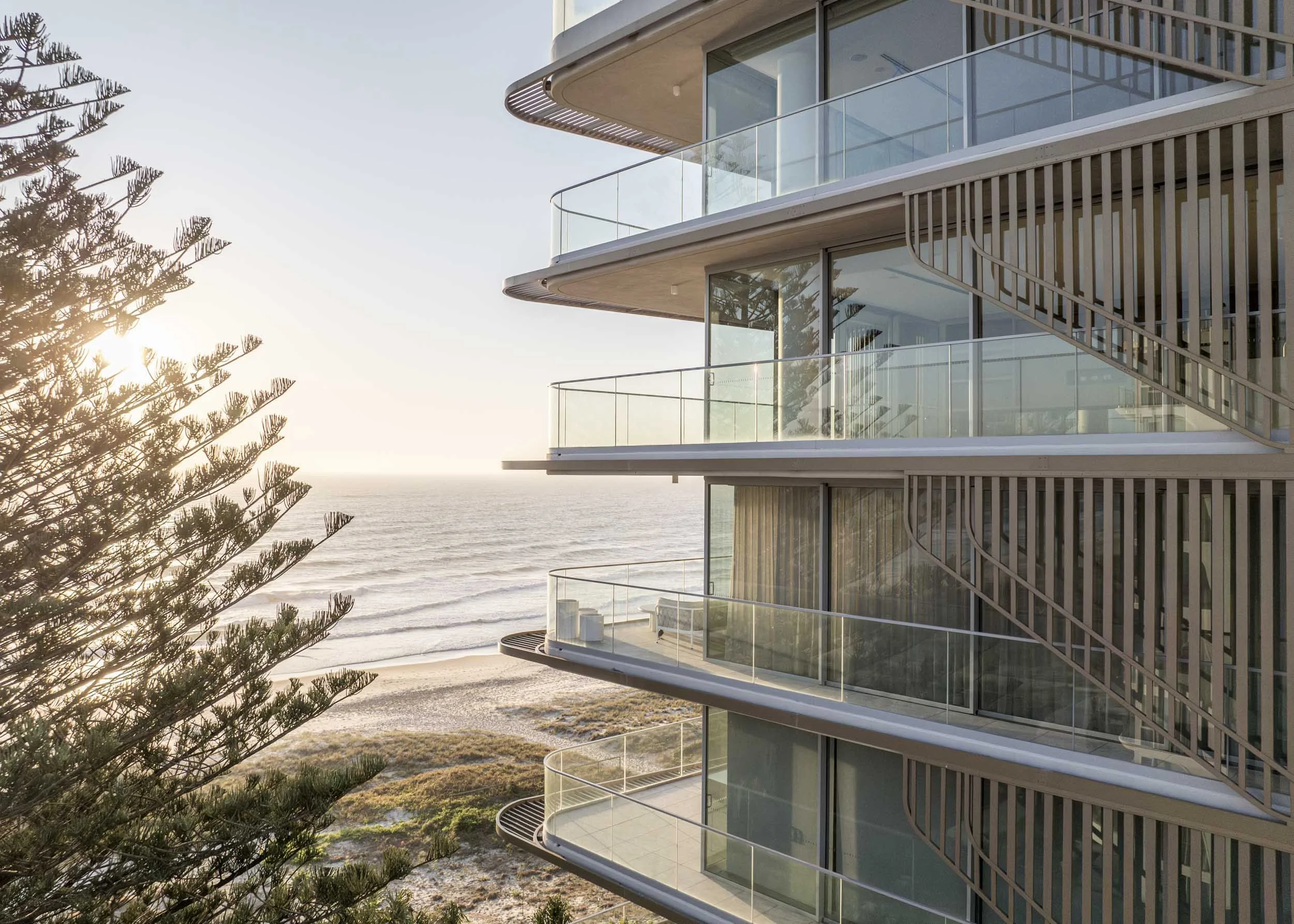
Drone imagery provides a clear view of project scale, site conditions and how the development sits within its wider environment. Coverage can be delivered as a one-off requirement or repeated from consistent viewpoints throughout construction. Commercial drone operations are carried out by CASA-licensed operators, with site access, airspace and operational requirements considered as part of planning.
Construction progress and site overviews
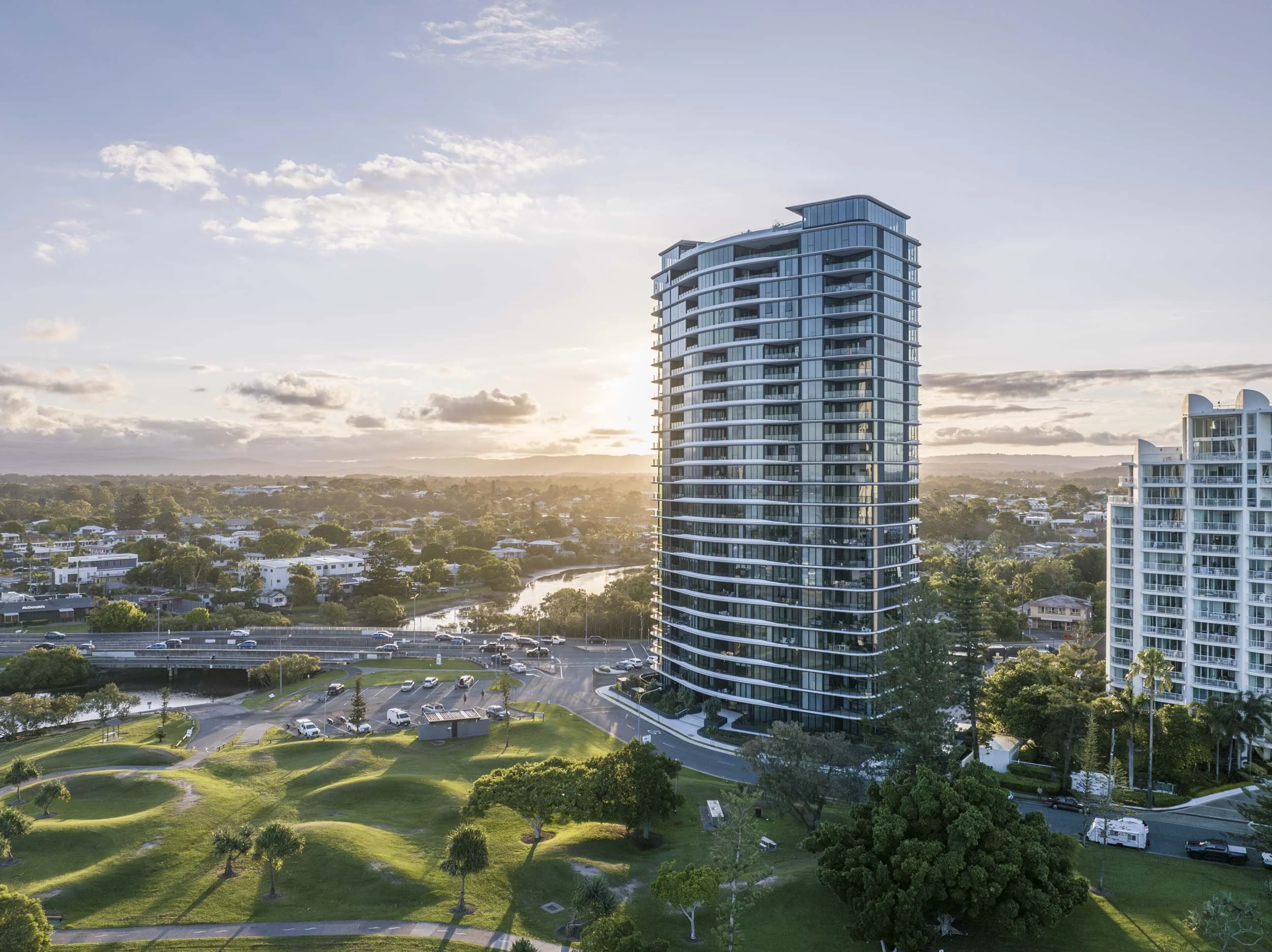
Completed project photography
Location and surrounding context
Inspection and documentation imagery
Short-form aerial video
Aerial content can be combined with ground photography and video to create a complete visual record from a single production visit.
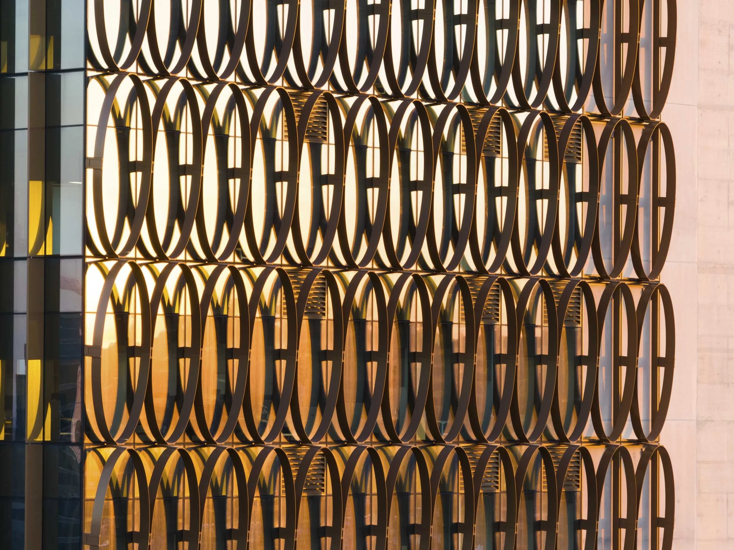
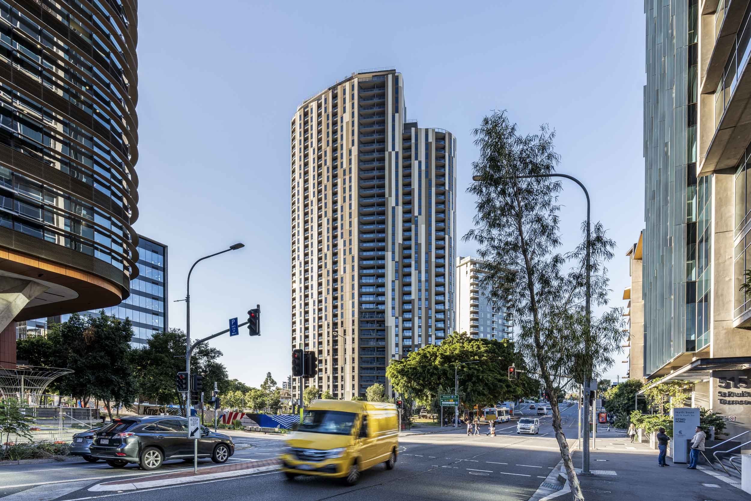
Recent work GALLERYRecent projects
Built for Every MomentWhat’s coming up?
A project milestone, completion, campaign or regular content requirement?
